


24 de September de 2025
Innovación
Calidad y cadena alimentaria
Resiliencia y competitividad
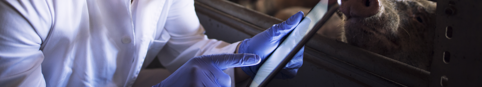
The Citriaforo Operational Group has developed an application that estimates the citrus capacity based on images taken with a mobile phone.
- The Citriaforo Operational Group has developed an application that estimates the citrus capacity based on images taken with a mobile phone.
- He has developed prediction models based on data from different plots, drone images and sensors.
In Spain, there are 302,848 hectares dedicated to citrus cultivation, according to the 2024 Survey on Crop Areas and Yields (ESYRCE), especially in the Mediterranean autonomous communities. For these farms, knowing the number and condition of the fruit as far in advance as possible is essential for organizing harvesting tasks and predicting their price and market value.
On most farms, this process is done through observation and lacks an automated or standardized process. In this context, the Citriaforo Operational Group (GO) emerged with the goal of implementing Agriculture 4.0 technologies and methods to estimate citrus yields , in addition to:
Develop manual sampling technologies at the plot level based on photography with mobile devices .
Implement automatic sampling technologies at the plot level based on sensors mounted on tractors .
Establish a standardized action protocol for determining crop gauging points based on images obtained through aerial flights with drones equipped with multispectral and thermal sensors.
Develop cloud-based capacity estimation models at the supra-plot level, based on data fusion from the above sources.
Results
The GO concluded its activities in February 2025 after carrying out three years of planned activities. During this period, the following results were achieved:
Development of an application that allows counting fruit on a tree using images taken from a mobile phone . It includes a user guide for obtaining the most accurate results, and the image submission and processing process for obtaining the result using estimation algorithms.
Pre-industrial prototype of a field imaging device, designed to be mounted on a tractor. It operates autonomously while the farmer works, and preliminary results were accurate to 60–70% of the actual total count.
Protocol for standardizing drone data acquisition and a platform for managing acquired images. Optimal sampling points are also identified.
Supra-plot land survey prediction model and digital platform that integrate data from various sources for analysis.
Participants and funding
The project has been coordinated by Cooperatives agroalimentàries Comunitat Valenciana , associated with:
And in collaboration with:
In addition, it has had a budget of €489,345 fully financed by the European Agricultural Fund for Rural Development ( EAFRD ) within the framework of the National Rural Development Programme 2014-2020 ( PNDR ).